Somehow flying and food are linked. Wednesday we went to to Georgia for BBQ. Today our fixed base operator, Jacksonville Executive Jet Center was throwing a Low Country Boil for the airport. It was technically a fly in as well but my plane was already there. They are usually ahead of the game when they do these events and today was called for 11:30. This usually mean food would be ready by 11:15.
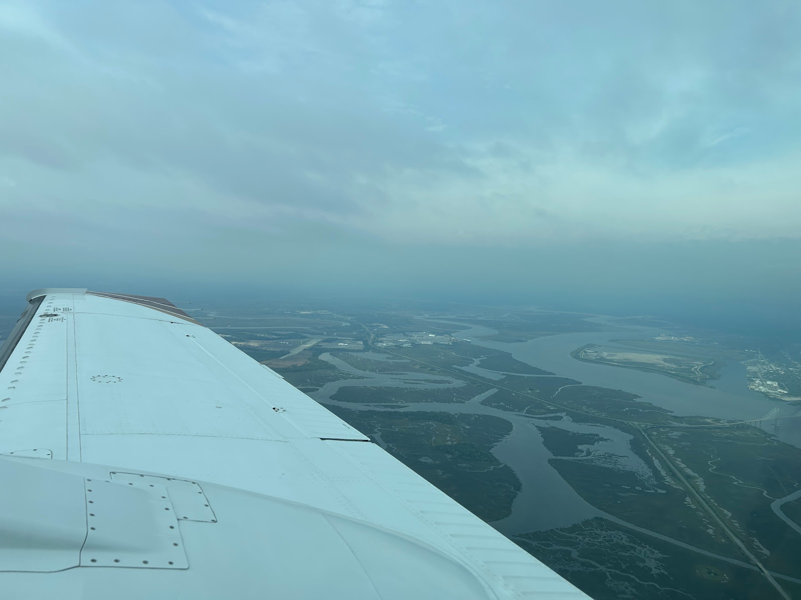
I showed up at 11:30 and checked a few things on the plane, I was undecided on flying as we were expecting rain. I headed over to the main hangar and found the food was a bit delayed, the wind kept blowing out the boilers. After considering my options, I decided to take a quick flight to look at the line of approaching storms and then I would eat. This plan had it's risks, a large crowd of hungry pilots had gathered. The clouds kept me down at 3500 which limited my ability to image but it was good practice for approaching a terminal area and having to work lower down.
The line was about 80 miles North. It looked pretty mean on XM but my sense was that all that yellow was not the same. Above is the XM and below the live radar, 80 mile range tilted down to 1 degree. Ground clutter is evident in the 0-45 mile range. The water does reflect much so offshore is not painting anything. Past 50 miles you can see that along the coast the rain is much more severe but slightly left of the nose is an area of only light precip with some possible heavier areas mixed in.
Tilting up lets you isolate the rain and see that the lighter stuff is likely not that vertical as it does not paint as much at plus 4. That heavy cell is still really strong though. 80 miles is a long way to make a tactical decision but it is starting to build a picture. Now it takes 28 minutes to get there so a lot can change before you get to the line but right now there does appear to be a pretty good gap right down that green line on the XM picture.
One thing I dislike about the Garmin display is that it does not display the radar tilt or let you change it when you are using the map overlay. Here is the radar page showing the same picture.
I chose to limit my interactions to the 30 mile range. While the line did not have a lot of strong storms, and they weren't heading for me, I didn't want any surprises. The big picture at 30-40 miles.
You can clearly see that one red cell. I used the vertical mode to get a closer look and initially was surprised. Not with the cell but with the picture. When you do a vertical profile you usually see the ground to the horizon and then any storm shows up as vertical blobs. The storm was there but what happened to the ground. After a few sweeps with me thinking something was wrong with the radar, the lightbulb went off. I was looking 43 degrees right. I was on the coast and there was only water between me and the cell, hence no ground return.
Heading over land a bit and reshooting the picture, mother earth reappeared. Very reassuring.
XM above, live radar below. I am tilted to 0 degrees and 0-30 miles is all clutter. That one red cell 45 degrees off the nose may be a city but you can clearly see the line of rain extending out to 100 miles. At this tilt It's hard to really see what is strong but the large areas of yellow would worry me. They align with the red areas at 60-80 miles. I would expect them to be better defined as I got closer and likely areas to avoid.
Just because something looks benign 80 miles out does not mean it really is, at 3500 my ability to really discern past 40 miles is limited. As I approach these may become strong returns. Today was also a day that illustrated why radar is so useful. In some situations your eyes are your best tool. Today was hazy It was impossible to see the difference between some light rain and a wing shedding cell.
When I got back the boil was ready and I enjoyed 2 plates full before wiping the plane down and heading home. A great day when you have boil and flying.


No comments:
Post a Comment