Thursday, March 16, 2023

Wild Wild West Georgia


We had planned an early departure Monday but the storms were a bit late.  It had been a bad week across the country and the front with a line of storms was barreling down on us, Sunday it stretched across Georgia.  Yes I like using my radar but looking at the line approaching at 6:30 AM I reset my alarm and went back to sleep.


We got started 90 minutes later than planned but my passenger didn’t complain. We were supposed to be out West this week.  To be specific we should have been in Yosemite after having been to Arches and Zion last week. The reality is that the weather out West stunk.  I scrubbed the trip a few days out and will reschedule it when it's a bit nicer.


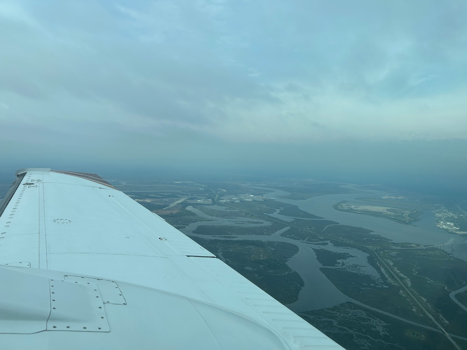
The severe weather had passed before we fired up but the weather was still snotty.  We departed into a 600 overcast.  The tops were 3200 and we were soon inching our way to Georgia. Our ground speed was the low 150s because of the strong headwinds.


Since we had planned to travel, we figured, that we should go somewhere.  My heater controller was not working quite right so I decided to combine sightseeing and maintenance but more on that tomorrow.


We had  planned to see canyons out West, so I decided to find some canyon a bit closer.   Apparently Georgia has some.  They are not quite natural though.  Poor farming practices in the 1800s created some significant erosion, in some places 150 feet of erosion.
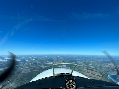

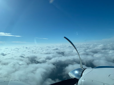
The flight to Columbus Georgia started cloudy but soon they melted away and we had clear and sunny skies. We landed, grabbed our rental car and headed to Providence Canyon State park.  


The park was a lot busier than I expected for a Monday.  Maybe some of the kids were on spring break?  It took a bit to find a parking space but we were soon on on the trail.  I usually hike in sneakers but CC had started wearing hiking boots and I decided to join the trend.


It was a good decision, the ground was typical sand and red Georgia clay. It was also damp from those storms that delayed us.  The trail starts deceptively flat and then steepens a bi, little did I know the true definition of steep, that's Wednesdays adventure.  We first passed a bunch of derelict cars from houses that were removed decades ago.  The cars or what was left of them looked like 1950s vintage. 


We continued down and down and eventually found the trail that let you walk in the canyons and the mucky water.  I was pretty happy I brought the waterproof boots.  We noticed a few people who had worn brand new sneakers, pretty sure they were hating the trail.


We walked up the canyons.  They are quite fragile so you have to stay away from the sides.  The views were good and we enjoyed exploring the different areas.  After returning to the main trail, we hiked back up to the rim.  This part was pretty steep and I contemplated taking some breaks on the way but didn’t want to look weak so I pushed on until we made it back to the top.


The rim trail is nice too, we enjoyed the views from above and soon made it back to our car.  Speaking of our car.  I usually reserve a smaller one as there are just 2 of us.  Even though I had paid for the cheap car, Avis set us up with a beast. We had a Wagoneer.  It’s like driving a semi and it only got 19 mpg but we had plenty of room.  I think I might have asked for something smaller but they had left it at the FBO so I figured I could help destroy the planet for a day.


After the park we headed to Alabama.  Columbus is right on the border and the route I chose back to town had us driving North through Alabama.  I had a secret surprise for CC.  There is not much to do in Columbus but I did find something special.


Kadie the cow.  Kadie was originally in front of a local dairy.  After the dairy closed, Kadie soldiered on.  She has moved to a riverfront park and now looks out over the Chattahoochee River.   After strolling the riverfront, we headed to our hotel and grabbed some food.  We had to be up bright and early the next morning.

Friday, March 10, 2023

Low Country Boil


Somehow flying and food are linked.  Wednesday we went to to Georgia for BBQ.  Today our fixed base operator, Jacksonville Executive Jet Center was throwing a Low Country Boil for the airport.  It was technically a fly in as well but my plane was already there.  They are usually ahead of the game when they do these events and today was called for 11:30.  This usually mean food would be ready by 11:15.

I showed up at 11:30 and checked a few things on the plane, I was undecided on flying as we were expecting rain.  I headed over to the main hangar and found the food was a bit delayed, the wind kept blowing out the boilers.  After considering my options, I decided to take a quick flight to look at the line of approaching storms and then I would eat.  This plan had it's risks, a large crowd of hungry pilots had gathered.  The clouds kept me down at 3500 which limited my ability to image but it was good practice for approaching a terminal area and having to work lower down.


The line was about 80 miles North.  It looked pretty mean on XM but my sense was that all that yellow was not the same.  Above is the XM and below the live radar, 80 mile range tilted down  to 1 degree.  Ground clutter is evident in the 0-45 mile range.  The water does reflect much so offshore is not painting anything.  Past 50 miles you can see that along the coast the rain is much more severe but slightly left of the nose is an area of only light precip with some possible heavier areas mixed in.


Tilting up lets you isolate the rain and see that the lighter stuff is likely not that vertical as it does not paint as much at plus 4.  That heavy cell is still really strong though.  80 miles is a long way to make a tactical decision but it is starting to build a picture.  Now it takes 28 minutes to get there so a lot can change before you get to the line but right now there does appear to be a pretty good gap right down that green line on the XM picture.


One thing I dislike about the Garmin display is that it does not display the radar tilt or let you change it when you are using the map overlay.  Here is the radar page showing the same picture.


I chose to limit my interactions to the 30 mile range.  While the line did not have a lot of strong storms, and they weren't heading for me, I didn't want any surprises.  The big picture at 30-40 miles.


You can clearly see that one red cell.  I used the vertical mode to get a closer look and initially was surprised.  Not with the cell but with the picture.  When you do a vertical profile you usually see the ground to the horizon and then any storm shows up as vertical blobs.  The storm was there but what happened to the ground.  After a few sweeps with me thinking something was wrong with the radar, the lightbulb went off.  I was looking 43 degrees right.  I was on the coast and there was only water between me and the cell, hence no ground return.


Heading over land a bit and reshooting the picture, mother earth reappeared.  Very reassuring.


It was time to head home. So I took one more look paralleling the line


XM above, live radar below.  I am tilted to 0 degrees and 0-30 miles is all clutter.  That one red cell 45 degrees off the nose may be a city but you can clearly see the line of rain extending out to 100 miles.  At this tilt It's hard to really see what is strong but the large areas of yellow would worry me.  They align with the red areas at 60-80 miles.  I would expect them to be better defined as I got closer and likely areas to avoid.


Just because something looks benign 80 miles out does not mean it really is,  at 3500 my ability to really discern past 40 miles is limited.  As I approach these may become strong returns.  Today was also a day that illustrated why radar is so useful.  In some situations your eyes are your best tool.   Today was hazy It was impossible to see the difference between some light rain and a wing shedding cell.


When I got back the boil was ready and I enjoyed 2 plates full before wiping the plane down and heading home.  A great day when you have boil and flying.

Wednesday, March 8, 2023

A blustery day

I had told my daughter that I would take her for BBQ today.  When I planned the flight it was supposed to be a nice sunny day.  It was a sunny day but rather blustery.  Winnie the Pooh fans would know that it was Windsday.  I woke up to howling which should have been my first clue.  The second was that all the trees seemed to be dancing.

Winds were 18 gusting 29 but dropping during the day.  They were also right down the runway so while not perfect it wasn't bad.  The trip is pretty short in the Baron.  49 miles at full speed is about 16 minutes but we pulled the power back and enjoyed the scenery.  That makes it a 20 minute ride, plus a 5 minute walk.

We had flown just off the coast which provided a surprisingly smooth ride.   I was a bit concerned that it might be busy as Saint Simons has a big conference starting Thursday.  They even have a temporary control tower planned for the next 4 days.  Luckily it was still quiet and we were soon parked and heading for BBQ.

Southern Soul is a favorite but they have changed over the years.  It used to be a hidden gem and while the food is still good, they have pared down the menu and expanded the seating.  It has lost a bit of its charm though not the delicious flavor and who can argue with BBQ at the end of the runway.

The ramp at Saint Simons usually has some impressive Jets and today was no exception.  We were parked just down from a Gulfstream.  Yes that would be a nice ride to have but it burned more fuel waiting on the passengers to load than we did all day.

The winds had reduced a bit in the afternoon and after eating too much we headed home with the some leftovers and soon had the plane safely in the hangar.  

Tuesday, January 31, 2023

Foggy Nights

Monday I went for a night flight.  The weather at home was good, 4000 broken but off to the Northwest, the clouds were lower.  I filed an IFR plan to Homerville, GA and back home.  Just South of JAX I hit a cloud wall which is what I wanted, I have been building night experience and was expanding to night IFR.  I have very little actual IFR at night and this was some good practice weather.

Arriving in the Homerville area I set up for the GPS 32.  AWOS was calling for 3500 Overcast and though I turned up the runway lights, I could not see the field.  The reason was soon apparent, there was a lower layer between me and the field.  At the FAF, I could see the beacon winking at me through the clouds but no runway.  Minimums are 491' and the field is at 187' so you an go as low as 300 feet above ground level.  Given the conditions I set my minimums at 600 to give me some extra room and started down.  I was solid for most of the way but right at 600, poof the clouds parted and the runway was right ahead.

I executed the missed and I guess the AWOS was right as it was clear over the airport.  A valuable reminder that the weather over the airport is not always what you may get on the approach.


Tonight I went out again for some more practice.  There had been sea fog most of the day at the beach but the forecast was for good weather until after midnight.  As I was holding for departure, the chatter on the radio was the approaching fog.  Mayport was 400 and Fernandina was 300.  I launched but decided to stay close to home.  I spent a nice hour watching the fog slowly roll in.

It never quite got to the airport and a few hours later it still hasn't.  It did get within about a mile though so not wanting to risk having to divert I headed in at the end of my hour.  There was a cool breeze as I pushed the plane into the hangar but it was decidedly warmer at home.  Interesting weather and great training.
Wednesday, January 4, 2023

A line I wouldn't cross

I had planned to just drop by the plane to do some cleaning but when I arrived I took another look at the weather and couldn't resist the training opportunity.  Today was a perfect day to shoot approaches and practice with the radar.  There was a line of storms moving in and as I sat in the hangar it was about 130 miles out.

I was a bit low on gas, only 3 hours, so I decided to start with a practice approach and top off.  I headed to 28J and shot the GPS 27 through some bumpy clouds breaking out at 1600 for an easy arrival.  After topping off, I picked up my clearance on the ground and was quickly released.  My plan was to fly to OTK (Valdosta VOR) and then turn around and come home.  By the time I was back in the air, the storms had moved much closer to OTK so I wouldn't have to go as far to practice with the radar.

I have been very happy with the addition of onboard radar to my bag of tools and on several trips it has really made a difference and allowed us to travel through areas of convective weather safely.  Today was not one of those days.  Even though radar gives you the real time information to safely avoid severe weather, today there was no safe path to find.  It did provide some good practice though.


This was a significant line and was actually easy to image at 100 miles.  The physical horizon was 95 miles out at my 8000 foot altitude.  I started with a 0 tilt and you can see the ground clutter as the beam reflects back until around 75 miles where the angle of incidence is not great enough to reflect back.


I prefer a 2 degree up tilt at this range.  You pick up less clutter but the core of your beam is still hitting the storms at the critical levels.


As I got closer it was clear that I was not going to go to Valdosta as the storms had moved quite a bit and I was seeing some small cells forming in front to the line.  It was looking mighty dark out the window.


I requested a re-route and was cleared direct Taylors which was a safer heading.  You can see the smaller storms starting to form to the left of my old course.


Just before I got to Taylors I did a bit of vertical profiling.  I had that big cell about 60 miles out


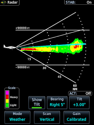
Here is the vertical shot.  I was at 7k and my beam was angled up 3 degrees so doing some math, the blue line intersects the storm at around 25k,  The tops are painting around 35k.


Also notice how the ground clutter is pretty symmetrical but the storm is clearly vertical.  Here it is again about 7 miles closer.  Notice that since I am not heading directly at the storm I am now pointing at a different slice of sky and it has a slightly different structure.


After making the turn at Taylors, I went from dark to blue skies.  Home was calling for 1800 overcast so I  had to be sequenced for the ILS 32, circle to 23.  The controller had held me high and then given me a steep descent.  I also had about 20 knots of tailwind up high so when he requested that I drop my groundspeed to 170 and then 150 I replied with unable.  I told him I could as soon as I was level.  
 

He gave me a vector and once I was down top 3000 I slowed to 149.  The approach was fun, I turned final with the airport in view but as I approached the FAF I entered a big puffy cloud so technically it counted towards currency. The approach was easy but the real trick was the landing 20+ knots, of gusty  variable winds with lots of turbulence on final.  Usually I could easily make the 1500 turn off with a headwind but today I just let her roll and coasted off at 2500 feet.  

As I write this the storms are only 30 mile away and we have tornado warnings.  The storms have moved 100 miles in 4 hours.  This was one line I was not going to cross.